Waterworks: Kansas, Mel Watkin
Artwork Overview
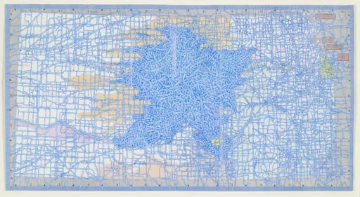
Mel Watkin, artist
born 1954
Waterworks: Kansas,
2005
Where object was made: United States
Material/technique: pen acrylic; road map
Dimensions:
Image Dimensions Height/Width (Height x Width): 48.9 x 91.2 cm
Image Dimensions Height/Width (Height x Width): 19 1/4 x 35 7/8 in
Sheet/Paper Dimensions (Height x Width): 48.9 x 91.2 cm
Sheet/Paper Dimensions (Height x Width): 19 1/4 x 35 7/8 in
Frame Dimensions (Height x Width x Depth): 23 1/4 x 39 3/4 x 1 1/4 in
Weight (Weight): 7 lbs
Credit line: Museum purchase: Lucy Shaw Schultz Fund
Accession number: 2007.0111
Not on display
If you wish to reproduce this image, please submit an image request
