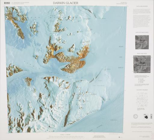
Antarctica Satellite Image Map: Darwin Glacier, United States Geological Survey; National Science Foundation

Artwork Overview

United States Geological Survey; National Science Foundation, Antarctica Satellite Image Map: Darwin Glacier
United States Geological Survey; National Science Foundation
2001
Antarctica Satellite Image Map: Darwin Glacier, 2001
Material/technique: satellite image
Credit line: T. R. Smith Map Collection, Anschutz Library, The University of Kansas Libraries
Accession number: EL2008.049
Not on display

If you wish to reproduce this image, please submit an image request
Images

Label texts

Exhibition Label:
"Climate Change at the Poles," Jan-2009, Kate Meyer, Jennifer Talbott, and Angela Watts
Located on the Ross Ice Shelf, the largest ice shelf in Antarctica (roughly the size of France), Darwin Glacier is one of several glaciers that feeds into the shelf as it floats atop the ocean. Ice shelves affect the rate glaciers melt. Once an ice shelf disappears, the glaciers significantly increase their melting rate. In 2002 a large iceberg, nearly ten times the size of Manhattan, broke off the Ross Ice Shelf,confirming the rising temperatures at the southern pole. Strong interest in the Ross Ice Shelf has led most research teams to create camps on or nearby the shelf, as the Americans did with McMurdo.

Exhibitions

Kate Meyer, curator
Jennifer Talbott, curator
Angela Watts, curator
2009