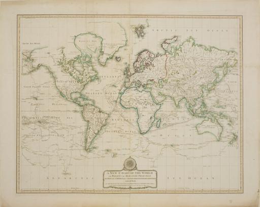
A new chart of the world: on Wright's or Mercator's projection, in which are exhibited all the parts hitherto explored or discovered with the tracks of the British circumnavigators Byron, Wallis, ..., Laurie & Whittle
Artwork Overview

A new chart of the world: on Wright's or Mercator's projection, in which are exhibited all the parts hitherto explored or discovered with the tracks of the British circumnavigators Byron, Wallis, ...,
1794
Where object was made: London, England, United Kingdom
Material/technique: engraving; hand coloring
Credit line: Department of Special Collections, Kenneth Spencer Research Library, Orbis Maps 1:24
Accession number: EL2025.071
Not on display
If you wish to reproduce this image, please submit an image request