Route and Surveys of the South Magnetic Pole Party, unknown maker
Artwork Overview
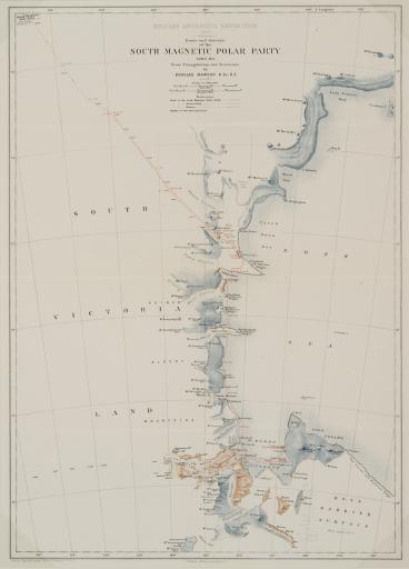
unknown maker, artist
Route and Surveys of the South Magnetic Pole Party,
1909
Portfolio/Series title: The Heart of the Antarctic; Being the Story of the British Antarctic Expedition 1907-1909
Material/technique: color lithograph
Credit line: Department of Special Collections, Kenneth Spencer Research Library, Ellis Omnia D400
Accession number: EL2009.010
Not on display
If you wish to reproduce this image, please submit an image request
