Jet Navigation Chart, JNC. 124, (Antarctica, Antarctic Ocean), Defense Mapping Agency
Artwork Overview
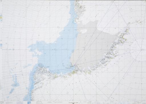
Defense Mapping Agency, artist
Jet Navigation Chart, JNC. 124, (Antarctica, Antarctic Ocean),
1975
Credit line: T. R. Smith Map Collection, Anschutz Library, The University of Kansas Libraries
Accession number: EL2008.047
Not on display
If you wish to reproduce this image, please submit an image request
