untitled map of the South Pole, unknown maker
Artwork Overview
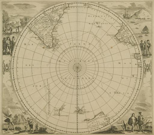
unknown maker, artist
untitled map of the South Pole,
1657
Material/technique: engraving
Credit line: Department of Special Collections, Kenneth Spencer Research Library, Oribs Maps 1:254
Accession number: EL2009.004
Not on display
If you wish to reproduce this image, please submit an image request
