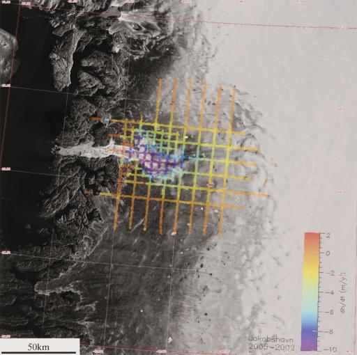
Gridded map that shows the flight paths in the area surveyed by CReSIS, Center for Remote Sensing of Ice Sheets
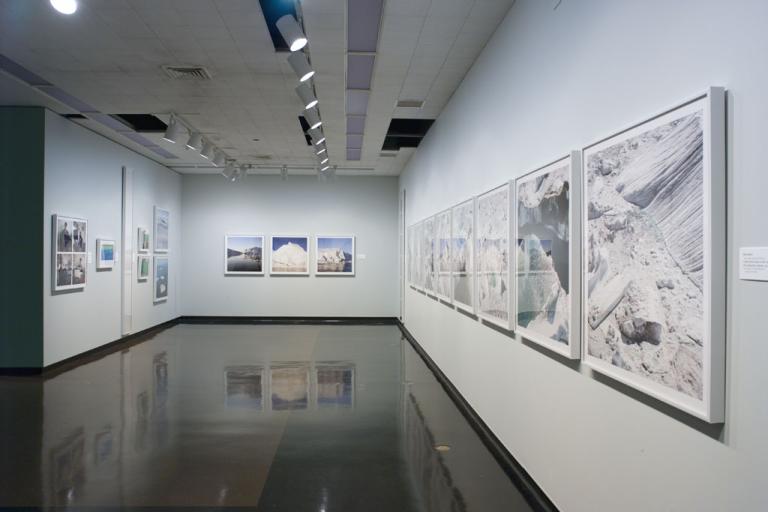
Artwork Overview
founded 2005
Gridded map that shows the flight paths in the area surveyed by CReSIS,
June and July 2008
Where object was made: Greenland
Credit line: Courtesy of CReSIS
Accession number: 2019.0047
Not on display
If you wish to reproduce this image, please submit an image request